Yap World War II Site Details
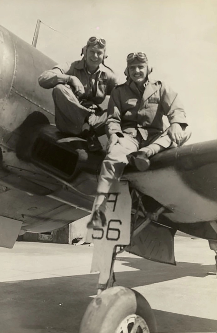
1/ Maj. Clay, Corsair Site
GPS Coordinates: 09˚ 28.844’ N| 138˚ 03.826’E
Maj. William Clay, Jr. was flying a FG-1A Corsair fighter on a routine mission from Pelelui in Palau when his plane was hit and exploded over water near Colonia. The memorial site is located in the mangrove swamp area in Wuluu Village, Fanif municipality. Access to the actual crash site has been constructed by the village so visitors can walk along a stone path, stone causeway and raised wood walking bridge right to the site in the mangrove swamp. Visitors can get within a few feet of the crash site. Date of Loss: November 21, 1944; Plane Type: FG-1A Coosair; Unit: United States Marine Corps, VMF-121 squadron (click to return to map).

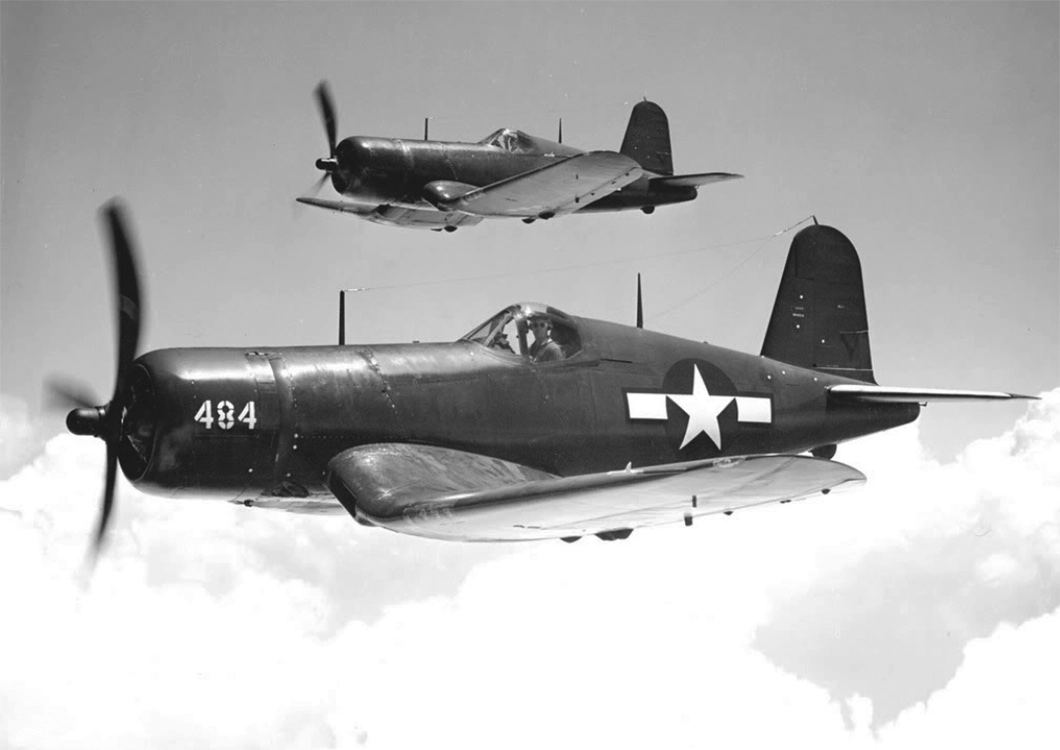
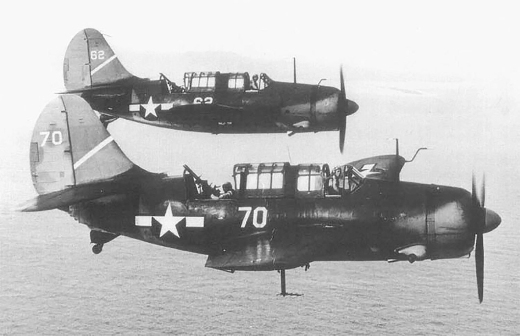
Goodyear FG-1A Corsair fighter, 1944
2/ Ens. Cox, Hellcat Site
GPS Coordinates of memorial site: 09° 30’ 49.217”N | 138° 6’ 7.940”E
GPS Coordinates of original crash: 09° 30’ 49.217”N | 138° 6’ 3.979”E
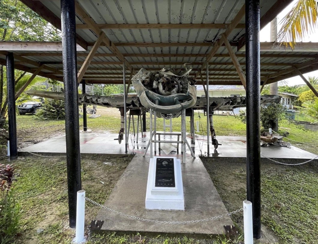
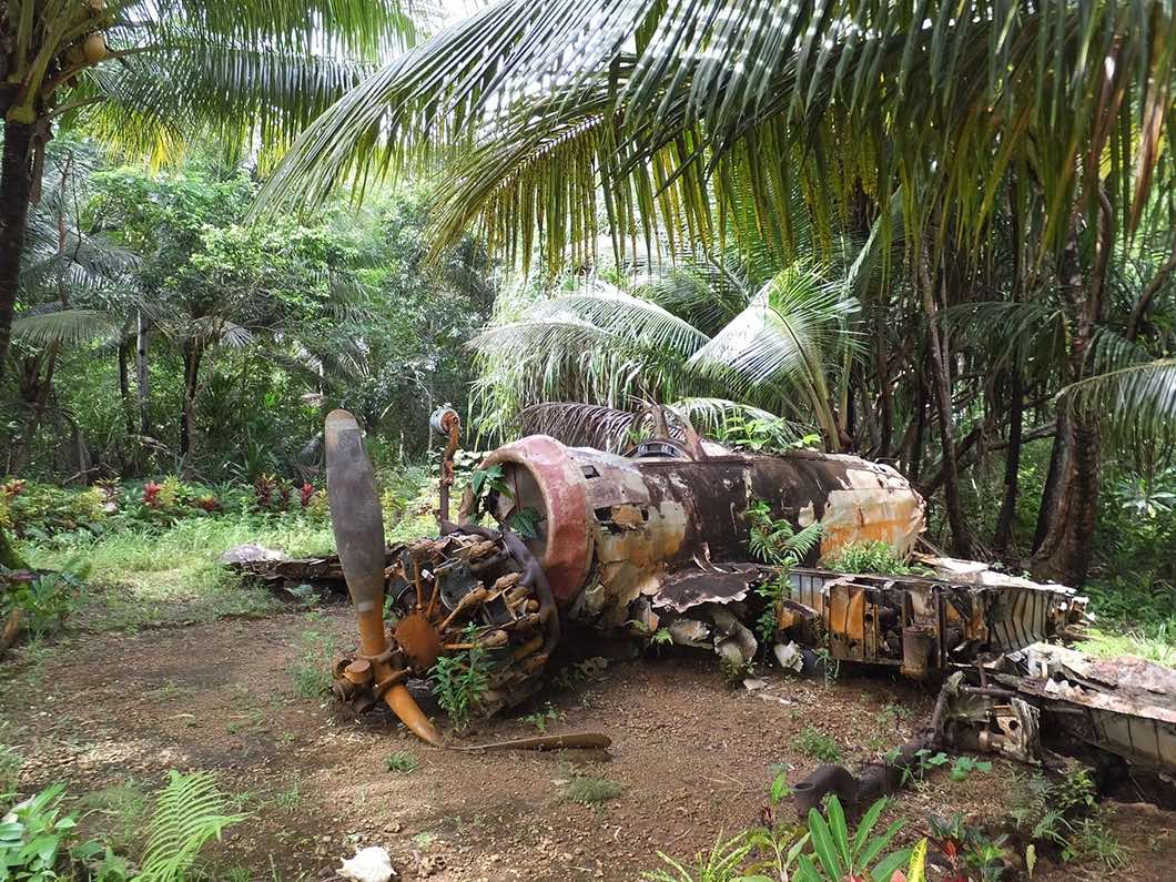
Ens. Joseph E. Cox was flying a F6F-5 Hellcat fighter in a mission over Yap with 34 other aircraft from the carriers, USS Enterprise, USS Franklin and USS San Jacinto, when he was hit by anti-aircraft fire, struck another Hellcat flown by Lt. Harry Brown in mid-air, and then crashed. In the jungle. Both planes were lost. The wreck and memorial are located at the Dept. Public Works and Transportation (PW&T) ground, by the main road to the west side of the island. Despite the violent crash and years of neglect in the jungle, the wreckage of the plane remains relatively intact today. It is one of the most unique of World War II wrecks and memorial sites in the Pacific. It was rescued from its original crash site at the modern-day Yap dump and moved one-half mile in September 2008 to the Yap Public Works property, where it is now on display. Date of Loss: September 6, 1944; Plane Type: F6F-5 Hellcat; Unit: United States Navy VF-20 from the USS Enterprise (click to return to map).

The Ens. Joseph E. Cox F6F-5 Hellcat Memorial
3/ First Lt. Girvis Haltom, Jr., Corsair Site
GPS Coordinates: 09° 29’ 27.231”N | 138° 4’ 3.731”E
First Lt. Girvis “Snooks’ W. Haltom, Jr was on a bombing mission from Peleliu over Yap airfield when he was shot down by anti-aircraft fire. The crash site is located in Tafnith village, Kanifay Municipality. Tafnith village is on the west side of the old Japanese airfield. The FG-1 Corsair wreckage was originally spread out over a large area throughout the village. Many of the largest pieces have been consolidated to a central area near the all-weather informational sign and marble memorial plaque. Date of Loss: October 24, 1944; Plane Type: FG-1 Corsair; Unit: United States Marine Corps, VMF-122 Squadron (click to return to map).

First Lt. Girvis Haltom and his wingman, Ed Zolnier
4/ The Japanese Airfield
GPS Coordinates: 09° 29’ 13.69”N | 138° 4’ 42.50”E
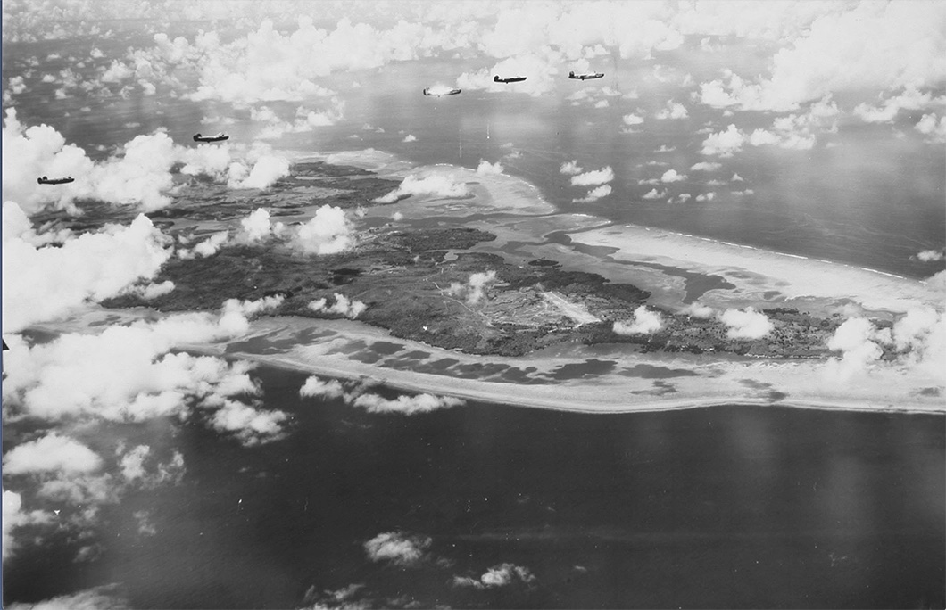
In early 1944, the Japanese began construction of a large primary airfield on Yap. Their goal was to create a transit point for Japanese air reinforcements as the allies rapidly advanced westward in New Guinea, the Philippines and the Japanese home islands. The Yap airfield was a key Japanese base for launching attacks against pending Allied invasion forces. I Over 50 Japanese planes were based on Yap at its height; however, many of the planes were destroyed on the ground shortly after they arrived by American long-range B-24 bombers. Numerous other Japanese planes were shot down over the island during air battles with American bombers.
The Yap airfield was targeted by American attacks almost daily from June 1944 until August 1945. More than 150 men and nearly 40 American aircraft were lost in missions against the Japanese-held island of Yap during World War II. After the war, ,American forces rebuilt the airfield and it was used as the primary Yap airport until a new airport was constructed in the 1980s. Wreckage of numerous Japanese and American planes and other war materials can be viewed all around the former airfield. Wreckage that was not buried was pushed into jungle where it remains today for visitors to view (click to return to map).

B-24 squadron over the Japanese Airfield, 1945
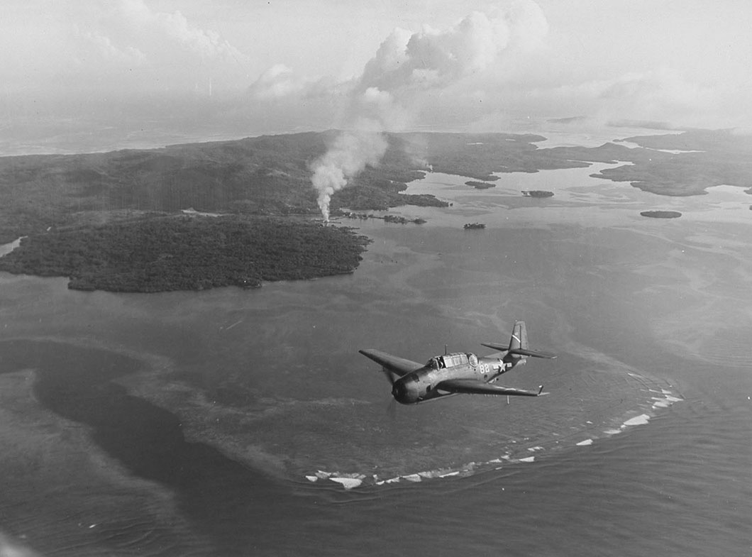
5/ Lt. Crowley Crew, TBM, Avenger Site / Lt. Lillard, Hellcat Site
GPS Coordinates: 09° 29.392’N | 138° 04.713’E
Both planes were shot down during different attacks on different dates over the Japanese Airfield. The Lt. Crowley TBM crew memorial and Lt. Lillard Hellcat memorial are located side-by-side in the village of Luwech on the east side of the old Japanese airfield. The memorials were erected next to a piece of the TBM left wing and a short distance from the partial wreckage of the Lt. Lillard Hellcat. Both planes went down over the airfield. Lt. Crowley TBM crew memorial - Date of Loss: March 16, 1945; Plane Type: TBM-3 Grumman Avenger Unit: United States Marine Corps, VMTB-232 Squadron; The Crew: 1st. Lt. Joseph Crowley from Milton, Massachusetts. PFC. Kenneth D Gillispie from Moberly, Missouri. PFC. Edgar Russell Norcross from Manchester, New Hampshire. Lt. Zack Lillard Hellcat Memorial - Date of Loss: November 22, 1944; Plane Type: F6F-5 Hellcat; Unit: United States Navy VF-20 from the USS Enterprise (click to return to map).

A TBM Avenger over Yap showing buildings on fire in Colonia, 1944
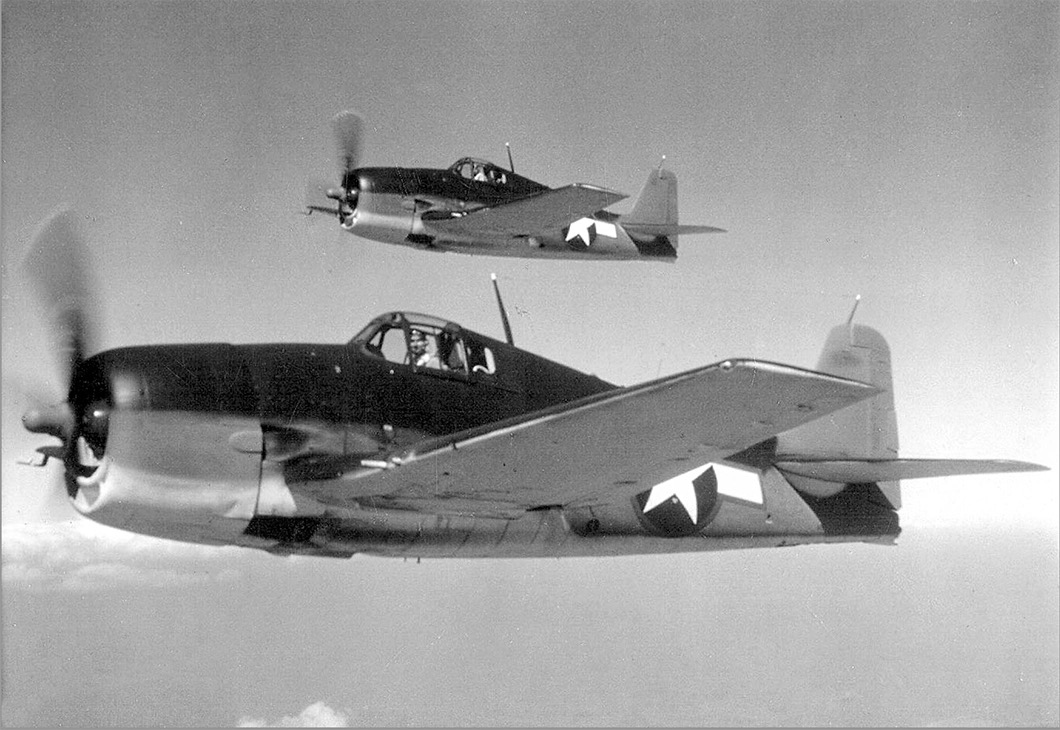
6/ Lt. Brown, Hellcat Site
GPS Coordinates 09˚ 30.369’N | 138˚ 03.767’E
Lt. Harry D. Brown, flying a F6F-5 Hellcat fighter from the carrier USS Enterprise, crashed after being struck by anti-aircraft during a strafing run over the Japanese airfield. The wreck and memorial are located on a hillside just outside of Colonia near the village of Talguw. Date of loss: September 6, 1944; Plane Type: F6F-5 Hellcat; Unit: United States Navy VF-20 from the USS Enterprise (click to return to map).

F6F-5 Hellcat fighter flying carriers, 1945
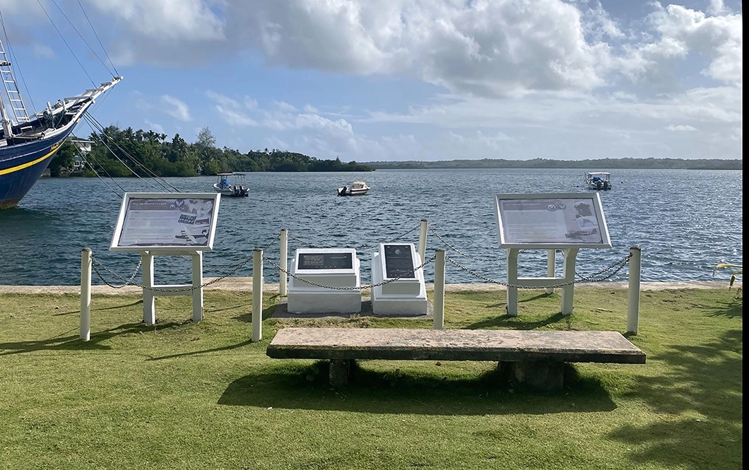
7/ Memorial Park in Colonia
GPS Coordintates: 09° 31’ 3.796”N | 138° 7’ 18.996”E
The Colonia public park is located between O’Keefe’s Waterfront Inn and the Manta Ray Bay Resort /Hotel. World War II memorials have been erected here on the harbor waterfront to honor the American planes and men who crashed into the sea and/or are still missing. Dozens of American planes crashed into the waters around Yap after being shot down by Japanese fighters and anti-aircraft fire. Current memorials in the park include the Coleman B-24 Crew, the Sylor & Diederich B-24 Crews who collided in mid-air, the Ens. Howard Holding Hellcat and a memorial sign listing all the individual losses during the war. Additional memorials are planned for the park.
All three B-24’s and their 11-man crews flew from Mokerang Airfield in the Admiralty Islands, a 13-hour return flight, on bombing missions over Yap in June and July, 1944. All were attacked by Japanese fighters, then crashed into the sea (See the link below for a full list of crew members) and have never been recovered. Date of Loss: June 25th/July 15th , 1944; Plane Type: B-24J AAF; Unit: 13th Air Force, 372nd Squadron, 307th Bomb Group.
Ens. Howard Allen Holding was flying a F6F-5 Hellcat during the same mission as Brown and Cox (above), when Cox’s Hellcat, already struck by anti-aircraft fire, collided with his in mid-air over the Japanese Airfield. Howard’s Hellcat crashed into the Harbor and his remains were never found. However, the wreckage of his F6F-5 Hellcat rests in the water not far from his marker in the Memorial Park. Date of Loss: September 6th, 1944; Plane Type: F6F-5 Hellcat; Unit: United States Navy VF-20 from the USS Enterprise (click to return to map).

WWII Memorial Park overlooking the harbor waterfront in Colonia
8/ Lt. George Beall Site
GPS Coordinates: 09° 31.603’N | 138° 09.200’E
Lt. George O. Beall, Jr.and his FG-1A Corsair went missing during a mission to bomb and strafe the Gagil-Tomil.airfield. His remains and wreckage was found at the end of the war. The memorial is located at Tamor Community Center in Tomil Municipality. Date of Loss: October 31, 1944; Plane Type: FG-1A Corsair; Unit: United States Marine Corps, VMF-121, Squadron (click to return to map).

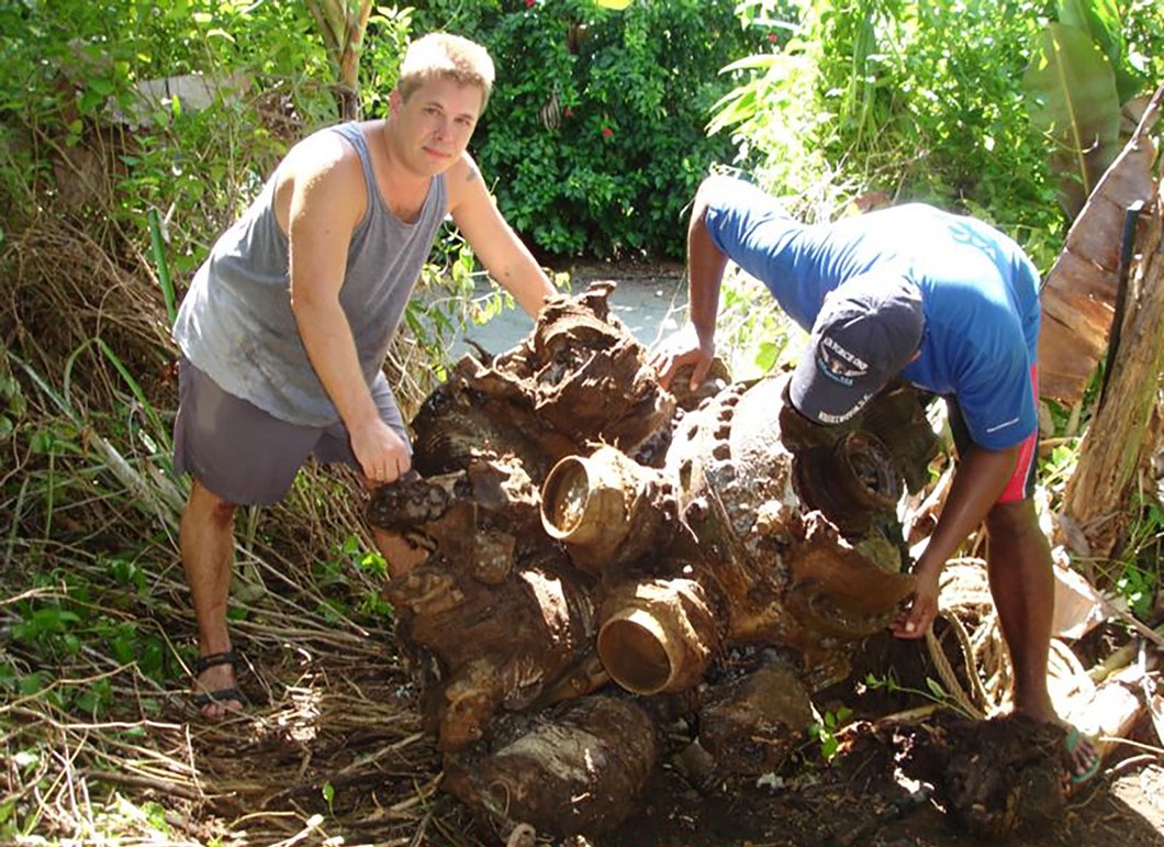
Patrick Ranfranz and the Missing Air Crew Project team clearing the site of the Second Marine Aircraft Wing F4U Corsair Crash Site
9/ Japanese Lighthouse at Dalap
GPS Coordinates: 09° 32’ 2.164”N | 138° 10’ 45.108”E
The ruins of the lighthouse are located on a hill called Dalap in the village of Lebnaw in Gagil Municipality. The lighthouse had a clear view of the island’s east side all the way down the southeast, as well as an overview of Pelak Channel down to Waneday Channel. Waneday Channel is the widest channel and currently known as Tomil Channel l where cargo and passenger ships enter Yap’s commercial port. The lighthouse was a prominent landmark during the war, often used by American pilots for navigation, and while it was attacked many times, it was only finally destroyed by the Japanese themselves in late 1944, to deny its use by US forces (click to return to map).

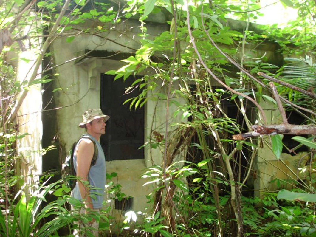
Exploring the Japanese Lighthouse ruins at Dalap
10/ Japanese Gagil-Tamil Airstrip
GPS Coordinates: Lat: 09.53882˚N | Long: 138.16795˚E
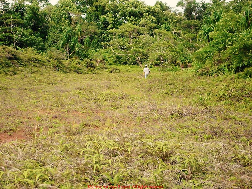
The Japanese attempted to construct a second airfield on the Gagil-Tamil Municipality of Yap Island in April 1944. American forces discovered the strip and began bombing it with the same intensity they used to attack the main strip and the airstrip never became fully operational. You can walk the airfield today and still see the remains of the Japanese construction equipment, including small rail lines and cars, as well as the numerous bomb craters created by American bombs that impacted the area (click to return to map).

Much of the uncompleted Gagil-Tamil airfield has been reclaimed by the jungle, but the areas that were heavily bombed remain as sparsely covered fields
11/ Ens. Armbruster, Jr., & Arm3c. Billings Helldiver Site
GPS Coordinates: 09˚ 33’ 24.2” N | E138˚ 09’ 26.0”E
Ens. George M. Armbruster Jr and his gunner, Arm3c. Harold Billings, were flying a SB2C-2 Helldiver from the USS Hornet on a mission to attack the Japanese Lighthouse when he lost a wing to anti-aircraft fire and crashed nearby. The memorial for the Armbruster and Billings Helldiver Crew is located at the original crash site in Makuy Village, Gagil Municipality. The Makiy Village a Community Chief had an access road constructed to come within 50 yards of the undisturbed crash site. Date of Loss: July 27, 1944; Plane Type: SB2C-1 Helldiver; Unit: United States Navy, VB-2 Squadron from the USS Hornet (CV-12) (click to return to map).

SB2C-1C Helldivers over Yap, 1944
12/ Japanese Zeros
GPS Coordinates: 09° 29’ 13.69”N | 138° 4’ 42.50”E
The main Japanese airfield still contains a large number of Japanese planes that were destroyed on the ground or in the air by attacking American forces. Just north of the airfield, visitors can view the wreckage of Zero fighters (Mitsubishi A6M), as well as Judy reconnaissance planes (Yokosuka D4Y), Gekko night fighters (Nakajima J1N1),), and Tabby transport planes (Showa L2D) in the vicinity. Many of the planes were pushed into the jungle at the end of the war when the airfield was rebuilt. Other planes still sit in their revetment areas from the time they were bombed or strafed and put out of action (click to return to map).

Many of the Japanese Zeros lying in the jungle around the old airfield were caught on the ground during bombing raids
13/ Japanese Bombers
GPS Coordinates: 09° 29’ 13.69”N | 138° 4’ 42.50”E
Remains of the infamous Betty twin-engine bombers (Mitsubishi G4M and Suisei Dive bombers (Aichi D1A) can be found to the south of the old airfield (click to return to map).

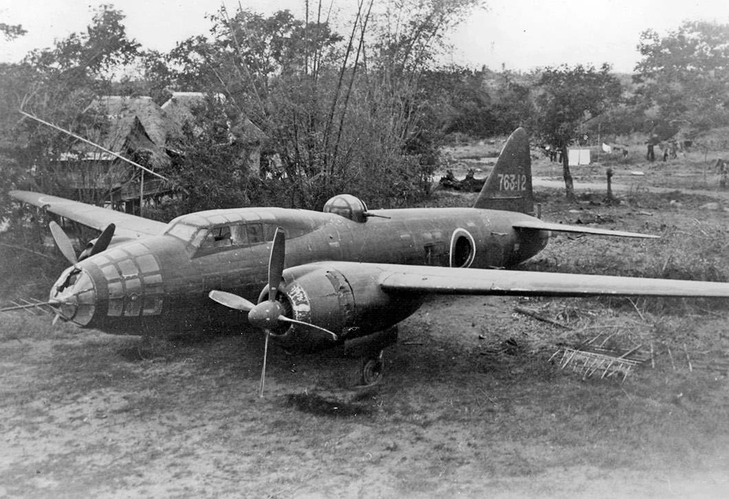
Mitsubishi_G4M 'Betty Bomber' on the ground, 1945
14/ Japanese Bunkers and Anti-aircraft Guns
GPS Coordinates: 09° 31’ 38.19”N | 138° 6’ 56.30”E
GPS Coordinates: 09° 29’ 13.69”N | 138° 4’ 42.50”E
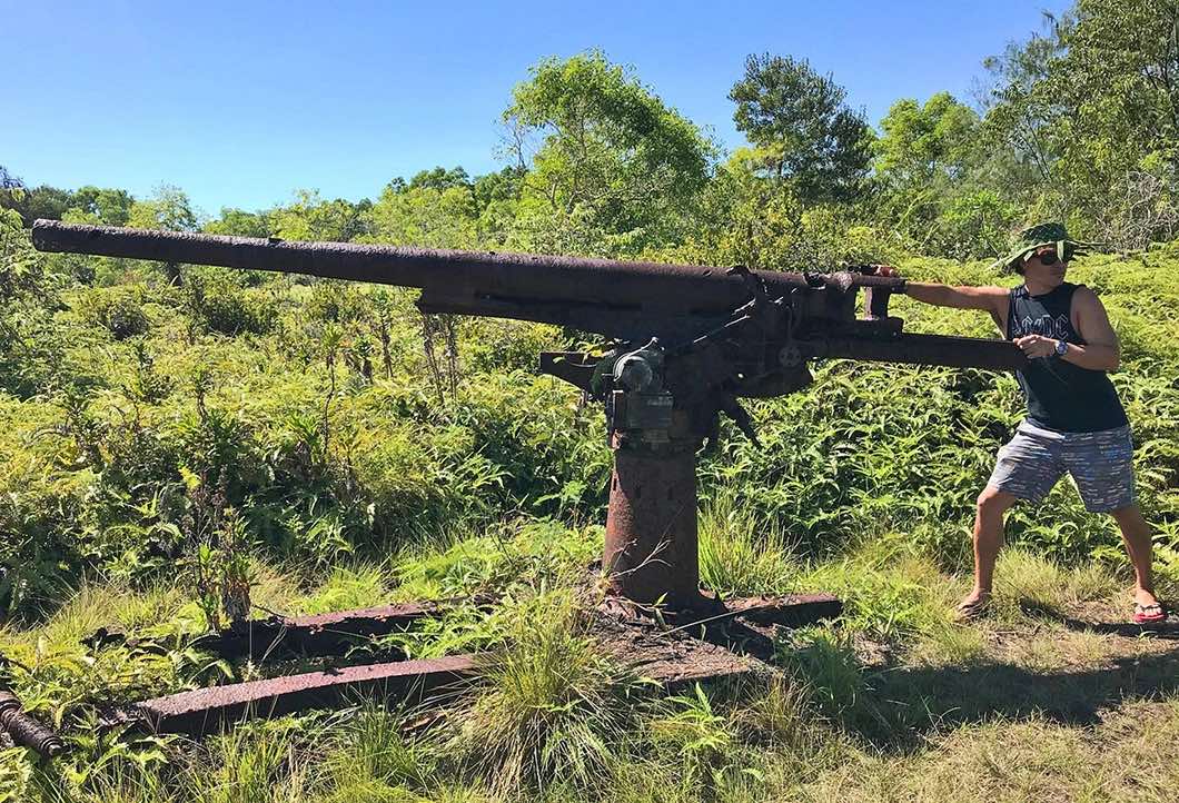
Although many of the large anti-aircraft guns were taken down and dumped in the sea or used as rebar in construction, a few remain in the hills overlooking Colonia in the Made’de Hills and around the old Japanese Airfield. Tour guides can take visitors to see the guns, including a well-preserved 1921 vintage #10-12cm Naval AA battery, which remain in the original locations. A number of Japanese bunkers also remain in various locations around the island. While many of the bunkers were destroyed after the war, tour guides can take visitors to see the few that remain (click to return to map).

One of the remaining Japanese Anti-aircraft guns positioned to defend the airfield and Colonia